The rainy season is upon us here in the Monterey Bay area and because of this summer’s major wildfires, the season will be accompanied with a significant risk of debris flows. KAZU News reports on the many local communities at risk.
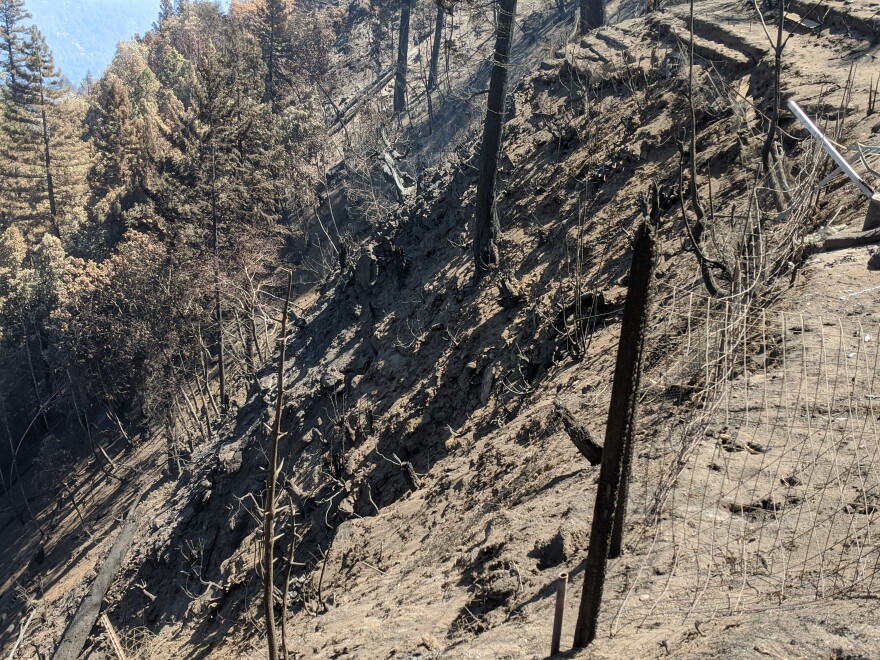
When wildfire moves across a landscape it changes it. Soil is burned, vegetation is charred and that’s when there’s a concern about debris flows.
Kevin Cooper is a retired U.S. Forest Service biologist.
“It's a cement like slurry that can move downhill very quickly and flow like a fluid, even though it's maybe 80 percent solids,” Cooper said. “And that can really move some very large boulders. It's very, very powerful, it has all this inertia and just can go right through homes and trees and everything.”
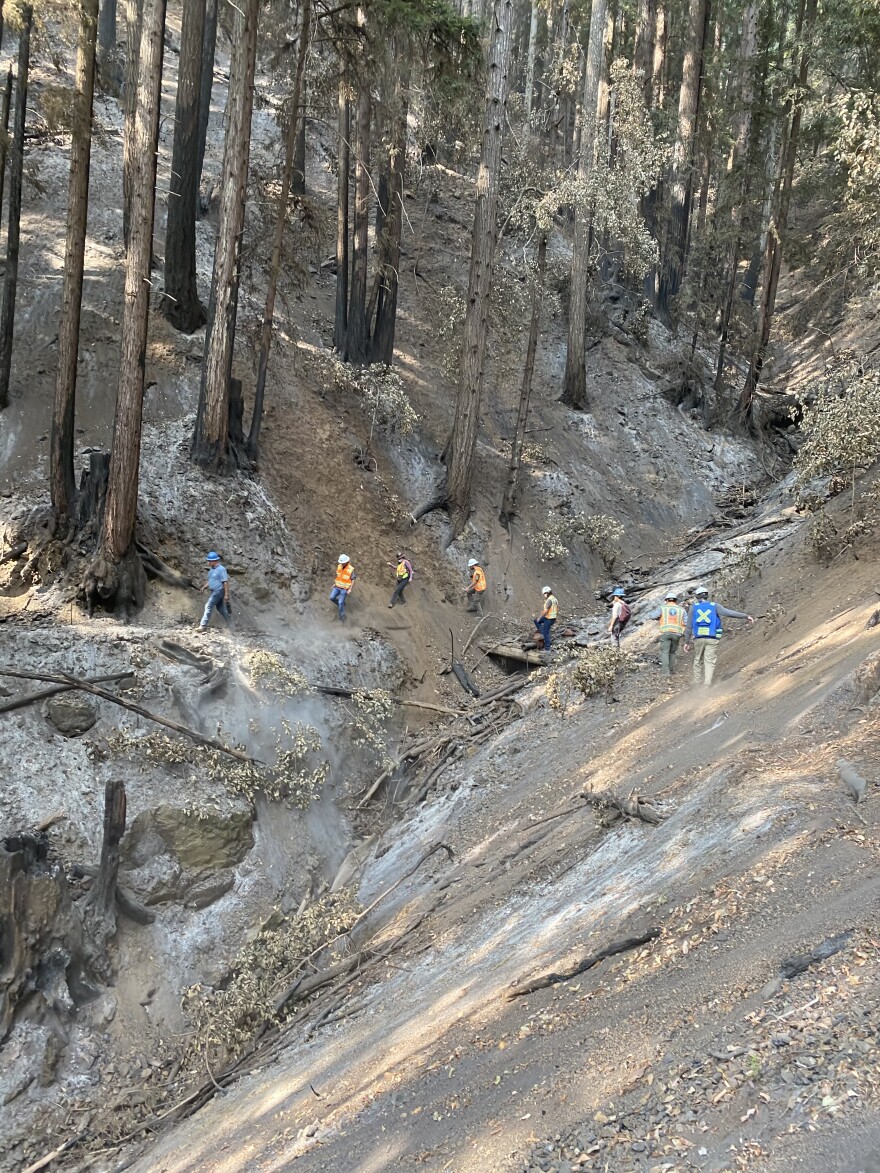
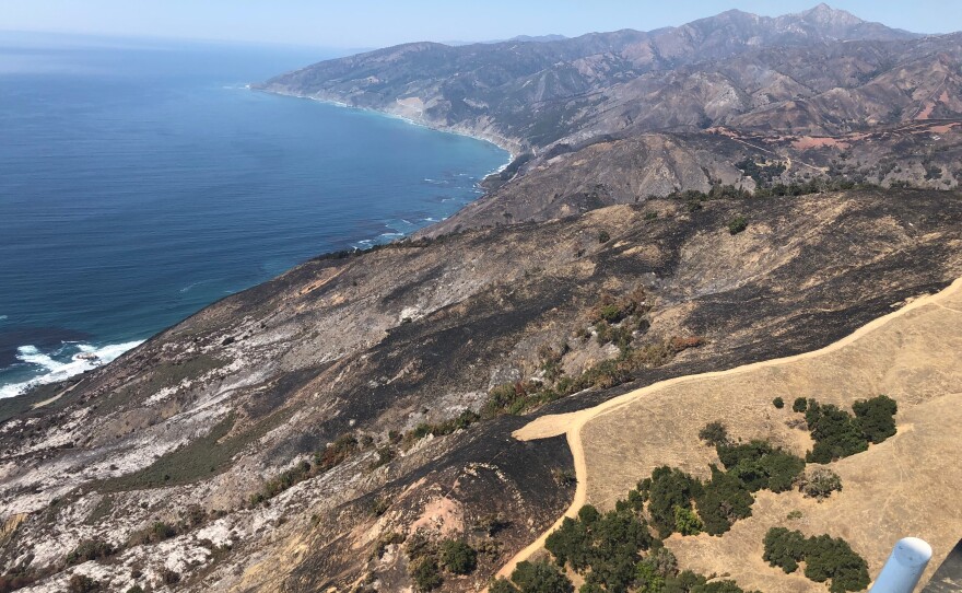
Cooper led the team that looked into the potential for debris flows after the Dolan Fire in the Big Sur area. He’s been doing this kind of work for decades and says it’s the wildfires that increase the risk for debris flows.
“It drives some of the oils and waxes and resins down into the soil where it recondenses into a kind of a waterproof layer, it's called a hydrophobic layer. That water repellent layer can cause the rainfall that comes to flow and sheet off of that,” Cooper said.
He says soil erosion is expected under normal conditions but is exaggerated after wildfire with up to 400 times the amount of soil loss.
“Seriously, one storm of maybe 15, 20 minutes, an hour, that on a dry soil, that could cause a lot of damage,” said Cooper.
Damage that could result in loss of life.

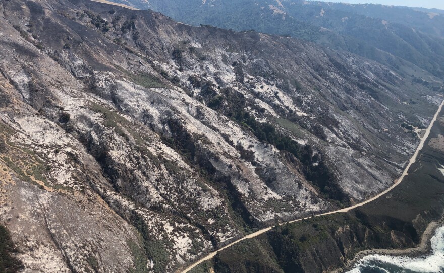
The Dolan Fire burn scar isn’t the only area Monterey County is monitoring for increased risk for debris flows.
Kelsey Scanlon is an emergency services planner for the county.
“Water can move fairly far away from its place of origin. And so when we look at potential risk for increased storm runoff, we were really looking at a mile to two miles away from each of the burn scars,” said Scanlon.
She describes her job as a bit like Tetris -- connecting people with resources.
The county has identified over 1,300 homes within one mile of the burn scars of the River, Carmel and Dolan fires. But the risks go beyond these individual homes.
“There are a good portion of homes that are not listed as values at risk,” said Scanlon. “But if the roadway three miles up is impacted, you might have to shelter in place for more than 72 hours.”
For Scanlon, the risk of debris flows comes down to these tips.
“If you can look up and you see a burned slope, to some degree, you're at risk. The other is that if the rain is coming down, get to high ground,” she said.
In Santa Cruz County, debris flows around the CZU Lightning Complex burn scar could affect more than 1,000 homes -- mostly in the San Lorenzo Valley.

Jeffrey Nolan is the Santa Cruz County geologist.
“The debris flow hazard after the fire here is probably one of the most acute things that I've had to deal with in my career,” said Nolan.
The county’s preparations have included studying the 2018 Montecito debris flow in Southern California where more than 20 people died and over 400 structures were destroyed or damaged.
“They estimated that only 25 percent of the people that were supposed to evacuate for the debris flows evacuated,” said Nolan. “Whereas 75 percent of the people evacuated for the fire. We really took that to heart here.”
Nolan says there are many reasons why debris flows are so dangerous and why people should heed all evacuation orders.
“They're very rapid, you can't really outrun them generally. They often happen at two o'clock in the morning when it's pouring down rain,” Nolan said.
Adding that they can sound like a jet plane flying almost overhead.
But at the end of the day, debris flows need rain to kick off. It all comes down to what’s in the forecast. Brian Garcia is our region’s Warning Coordination Meteorologist for the National Weather Service.
“This winter, what we're looking at due to La Niña is we're actually looking at a drier than normal winter,” Garcia said.
He said they’re expecting anything between 30 and 70 percent of normal precipitation.
“However, that said, dot dot dot, all of the rain that we get for the winter could come in one or two storms,” Garcia said.

Being prepared for a debris flow means following the weather forecast, knowing your zone and signing up for emergency alerts in case an evacuation is called. It means researching the exact risks to your location and taking action in the form of clearing out culverts or getting sandbags.
And this isn’t a short term risk. Vegetation and soils can take a long time to recover after a fire, meaning there’s a possibility of debris flows locally for the next three to five years.
Residents in Monterey County can find helpful resources and check the exact risk of debris flows to their location here.
Residents in Santa Cruz County can find helpful resources and check the exact risk of debris flows to their location here.


